Software
Land Survey Software (LSS)
As User No.130 of
McCarthy Taylor’s Land
Survey System ‿LSS ‿way back
in 1990, although we used it for two years before that! - you
can be sure that we fully utilize all aspects of this multitalented
tool for surveyors and engineers.
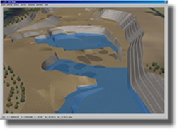
From 3D visualizations to design & "what if" modelling there isn’t
any aspect of this software we haven’t used or are fully versed in.
It’s flexibility allows us to do it our way but give you what you
want and need.

Leica GEO Office (LGO)
It came with the GPS and has
grown into a useful tool.
Used for Static processing of GPS baselines and RTK surveys

AutoCAD
All our works are finished in
AutoCAD to either our own high standard of presentation or your own
styles and requirements.
Our philosophy is one of giving the client what they want and need
to be productive with our data from day one.
