Surveys
There are many facets to what could be called a "survey" and below is a small summary of what we can undertake...
Topographic
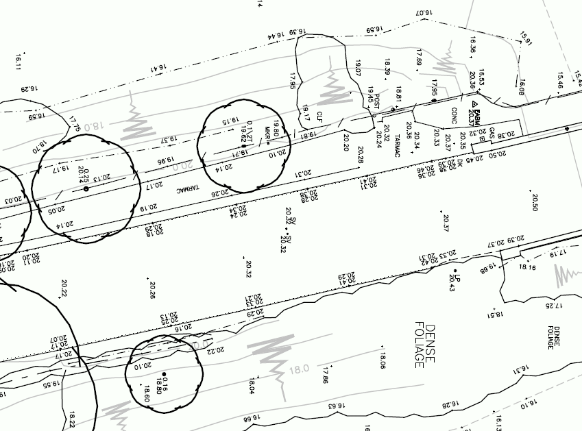
Our breadth of experience in
this field is unchallenged.
All works are tied into the National Grid & Newlyn Datum as standard
and presented in either client specific format or our own.
We aim to supply not just a survey but an integral part of the
design process that will repay the investment made in it many times
over.
Hydrographical
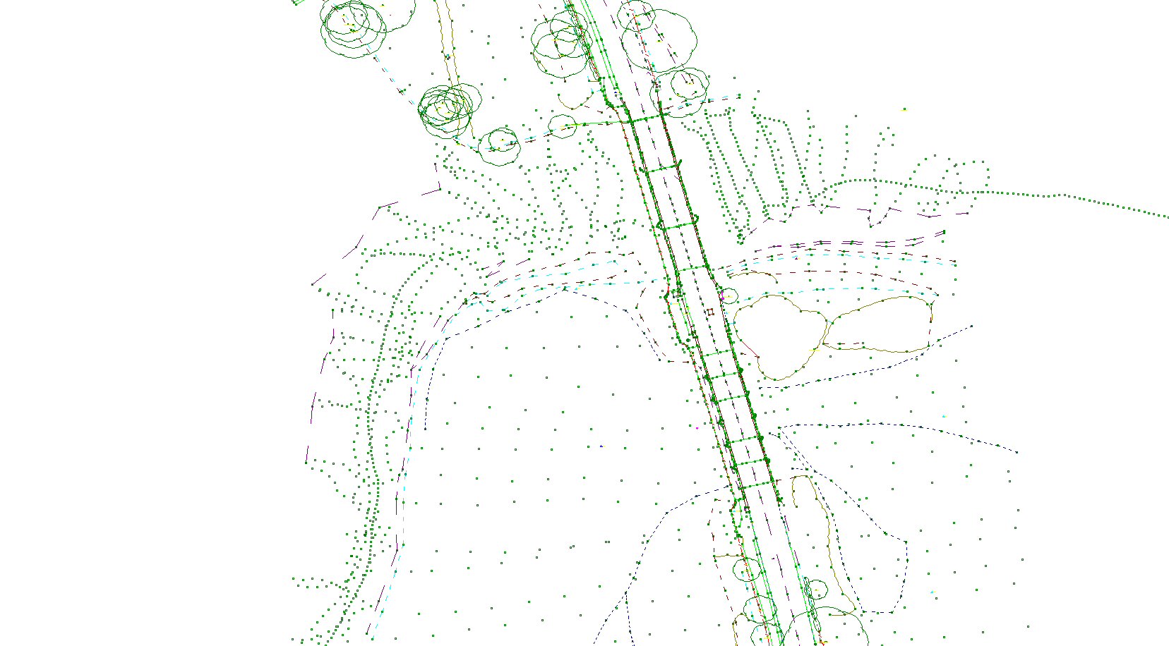
Using our
Ohmex SonarMite sonar system,
aligned with our GPS or TPS systems, high accuracy hydrographical
survey works of lakes and inshore areas can be processed and
presented in either admiralty or engineering formats.
Volumetric
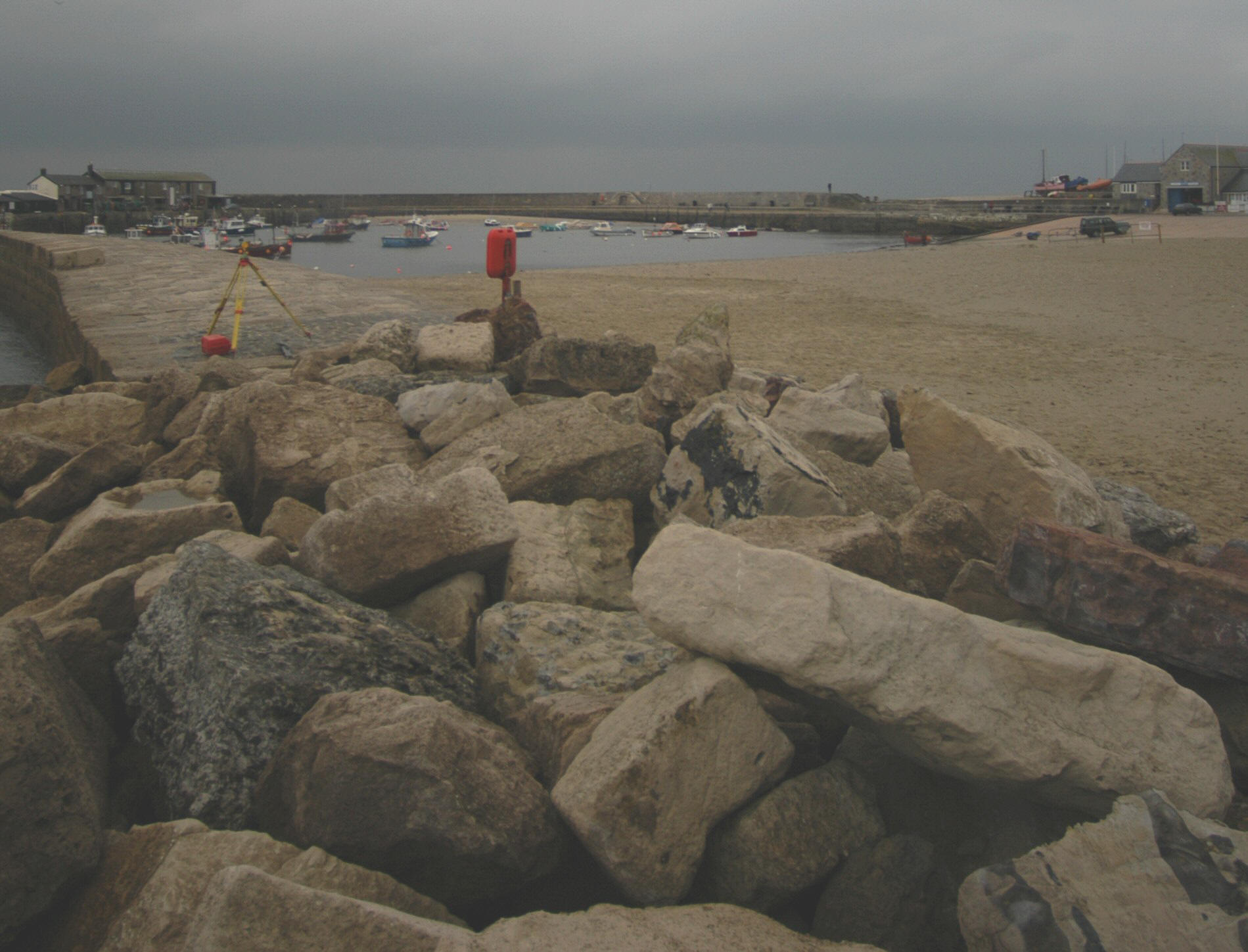
The analysis of volumes based on
accurate surveys, which are then backed up with the appropriate
level of conformation via clear and accurate presentation, will
prove invaluable and cost effective.
As Built \ Proving \ Check
An accurate record of your
project at any stage. Whether for handing over provable control
works to a third party, recording the structure “as built‿or
providing the peace of mind gained from ensuring all’s going well.
Clear and concise presentation of the facts in a timely and cost
effective manner.
Monitoring
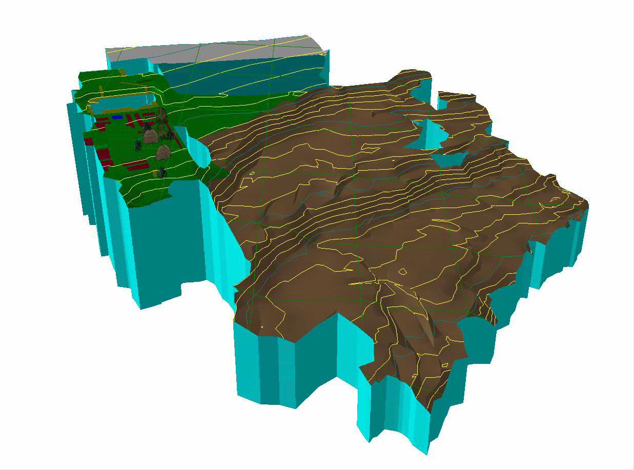
All aspects of monitoring undertaken with a full and concise analysis of the data presented in a clear and readily absorbed manner.
Building
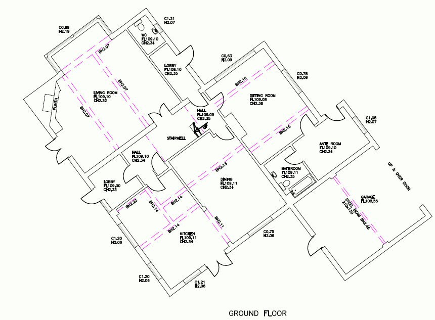
Are undertaken
using a combination of handheld tape, Leica "disto's" or
reflectorless total stations, whichever is the most appropriate,
and processed using the latest software to ensure
completeness of site works.
All works are presented in a client specific format or our own
flexible in-house styles.

